




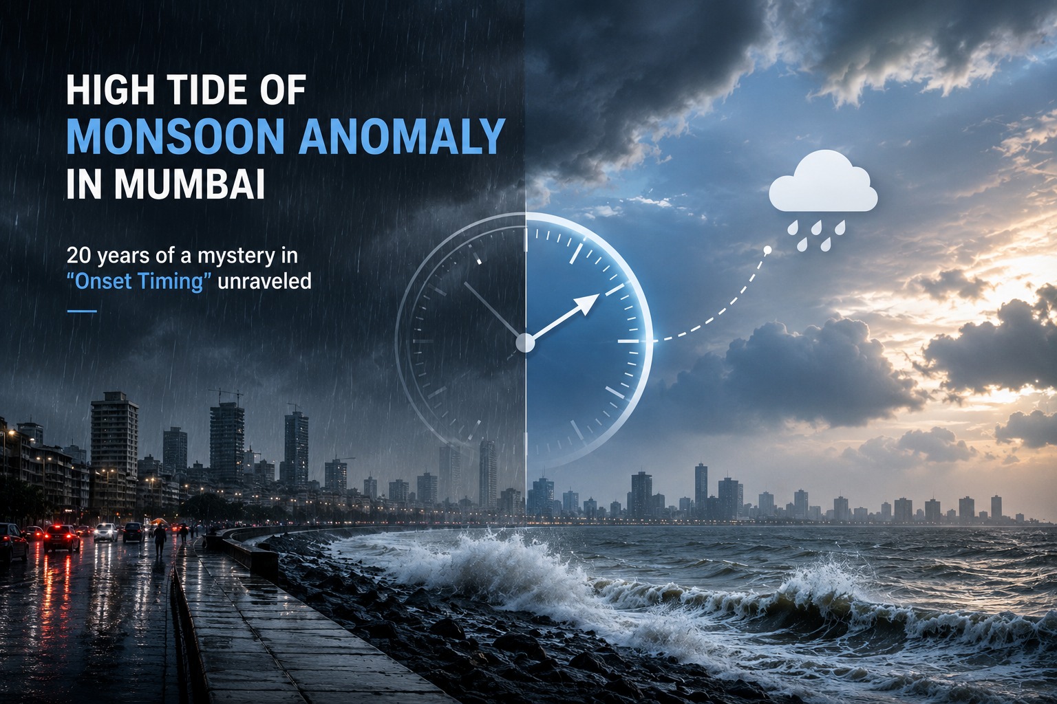
India’s financial capital has known how to play hardball, pushing back its business quarter in anticipation of the 2026 southwest monsoon that had a recent historical record delay, to arrive at Mumbai in late June instead of its usually dependable June 11 start. So why did Mumbai have to wait two long weeks before the annual monsoon storm bench of clouds rolled in? The answer lies in a trio of atmospheric troublemakers: a late-season affair between the El Niño, a Madden-Julian Oscillation (MJO) stuck in the desert haze, and a semi-permanent lid of dry air from the African and Indian deserts.
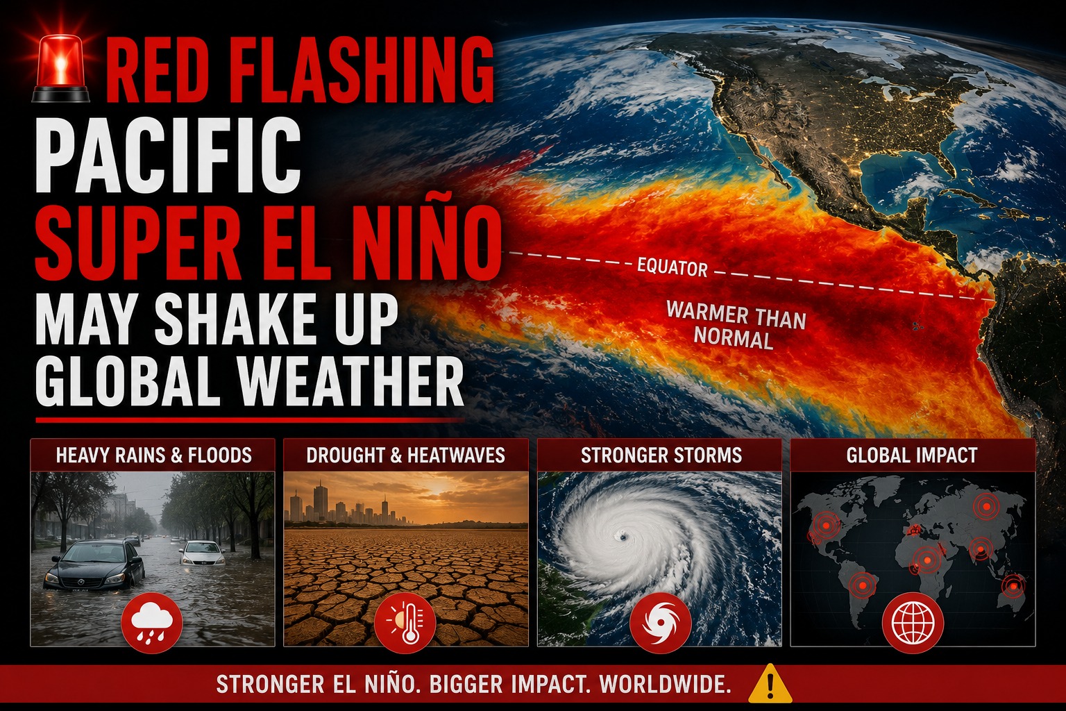
To begin with, the larger oceanic picture was one driven by a developing El Niño in the Pacific Ocean. For example, an unusually warm equatorial Pacific can disturb the Walker Circulation, the enormous cycle of rising and descending air that occurs in the tropical region. As a result, the seasonal low-pressure system over the Indian subcontinent is weakened, thus robbing that region of its "suction power" to draw moisture-rich winds over the surface of the deep ocean onto the mainland.
Second, this oceanic handicap was made worse by a weak Madden-Julian Oscillation (MJO). Picture the MJO as a moving train of clouds and rain that travels around the world along the equator. In early June 2026, the MJO stalled in a suppressed phase over the Indian Ocean. Instead of pulling monsoon clouds into action with its usual large-scale tug, it left the Arabian Sea as calm as a glass of still water.
Last, the localized death blow to early June rains came from the northwesterly winds. Desert air moving up to western India at higher altitudes, trailing from rare, but sometimes intense, mid-latitude weather systems, was dry and hot, and it filled the air column. Even when heat over Mumbai overwhelmed the moist coastal air and pushed it upward to make rain clouds, the upper-level dry air choked the moisture out of them, in what scientists call entrainment, causing developing clouds to evaporate before they could produce sustained rainfall.
The result was a terrible urban crisis. With Mumbai under a scorching 35°C+ weather and oppressive humidity, it saw its seven critical water supply lakes at a historic low of 10.72%, forcing the municipal corporation to impose severe city-wide water cuts.
Relief came only in late June when the dry-air lid cracked, and intense, localized convective "pop-up" storms generated heavy rainfall over the municipal wards such as Worli and Ghatkopar. In the end, the 2026 anomaly is a hard lesson that Mumbai hyper-local rainfall can be triggered by atmospheric chain reactions from thousands of miles away.

Mukherjee Nagar, New Delhi, INDIA
+91- 8168583827 , 9810850652
globalDailyLog@gmail.com
At globaldailylog.com, Provide you all types of Information in English (or all Language By using Google text Translator), We Make Every Effort that we are Related to Computer Technology , politics , health , Corporate , Educations ,Business , Entertainment , lifestyle , foods and Travel . So If you are excited to learn something new then join our family and Increase your knowledge Power and become a big guide in yourself.So Make sure You Hit the Like Button , Share Button and Subscribe Button to Get My Latest Post. Thank you.
© GlobalDailylog. All Rights Reserved. Designed by Techknowtouchwood